Guides · United States
Getting around Boston
How to move around Boston on a 3-day walking trip: metro, tickets and the notes that matter.
Checked September 2026 against official sources
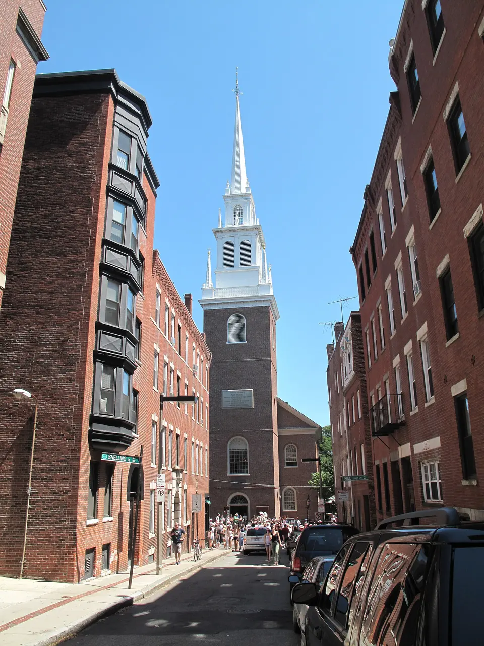
Boston
Transit and walking
Follow the official link before you buy. Full walking days: Boston itinerary.
Getting around
- On MBTA buses and the subway you can pay the standard fare by tapping a contactless bank card, phone or watch on the Charlie reader at the fare gate or on board.Source: MBTA · checked Sep 2026
Questions
Quick answers
How much walking is this itinerary?
Between sights it comes to about 1 to 2 km a day in a straight line, plus two rides on the T, but the Freedom Trail day adds plenty of standing and short climbs.
The days these rules belong to
3 days in Boston
Boston is one of America's most walkable cities, so each day keeps to one area: day one follows the red-brick Freedom Trail from Boston Common through downtown and the North End to USS Constitution in Charlestown; day two climbs Beacon Hill, crosses the Public Garden to Copley Square and ends at the Gardner Museum and Fenway Park; day three takes the Red Line to Harvard, then returns to the harbour for the Boston Tea Party Ships and the ICA. Book the Gardner Museum's timed tickets ahead.