Guides · Chile
Getting around Santiago
How to move around Santiago on a 3-day walking trip: metro, tickets and the notes that matter.
Checked September 2026 against official sources
Santiago
Transit and walking
Follow the official link before you buy. Full walking days: Santiago itinerary.
Getting around
- Santiago's public transport fares with the bip! card, valid from February 22, 2026: metro CLP 895 at peak (7:00–8:59 and 18:00–19:59), CLP 815 off-peak and CLP 735 in the low band (6:00–6:59 and 20:45–23:00); buses a flat CLP 795. One payment covers metro, bus and MetroTren with up to two transfers within 120 minutes.Source: DTPM, Directorio de Transporte Público Metropolitano · checked Sep 2026
Questions
Quick answers
How much do the tickets cost?
The Museum of Memory and the Museo Nacional de Bellas Artes are free, and so are La Moneda's tours, the parks and the hills on foot. La Chascona is CLP 11,000, the Precolombino CLP 8,000 for foreign visitors, the funicular CLP 1,580 one way, Sky Costanera CLP 25,000 by day and 30,000 at sunset. Prices are in Chilean pesos; roughly 950 pesos to the US dollar in 2026.
How do I get around?
Buy a bip! card at any metro station and load it: a metro ride costs CLP 895 at peak, 815 off-peak and 735 early and late, buses a flat 795, with free transfers within two hours. Taxis are metered and cheap; ride-hailing apps work. Everything on day one is walkable; the Andes are always east, which makes the centre easy to navigate.
How much walking is this itinerary?
About 3.5 km in a straight line on day one, flat except for the climb up Santa Lucía; about 1 km on foot on day two, with the funicular and cable car doing the hill; and about 1.5 km on day three plus two metro rides. Summer afternoons are hot and dry, so the plan puts the hills in the morning.
The days these rules belong to
3 days in Santiago
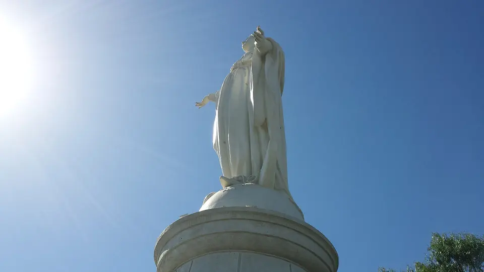
Santiago's centre is compact and flat, and the metro is good, so the plan walks the first day and uses the metro and one taxi a day after that. Day one runs from the Plaza de Armas to La Moneda, back past the Mercado Central for lunch, up the terraces of Cerro Santa Lucía, through the Parque Forestal to the fine-arts museum and into Lastarria for dinner. Day two climbs: La Chascona at opening, the funicular to the Virgin on San Cristóbal, the cable car down to Providencia and the Sky Costanera observation deck, ending in Barrio Italia. Day three is the museums in the west, the Museum of Memory and the Quinta Normal park, then the Precolombino in the centre and the bars of Bellavista. La Moneda tours must be booked weeks ahead through the presidency's site, and the museums close on Mondays.