City itineraries · Chile
Santiago, day by day
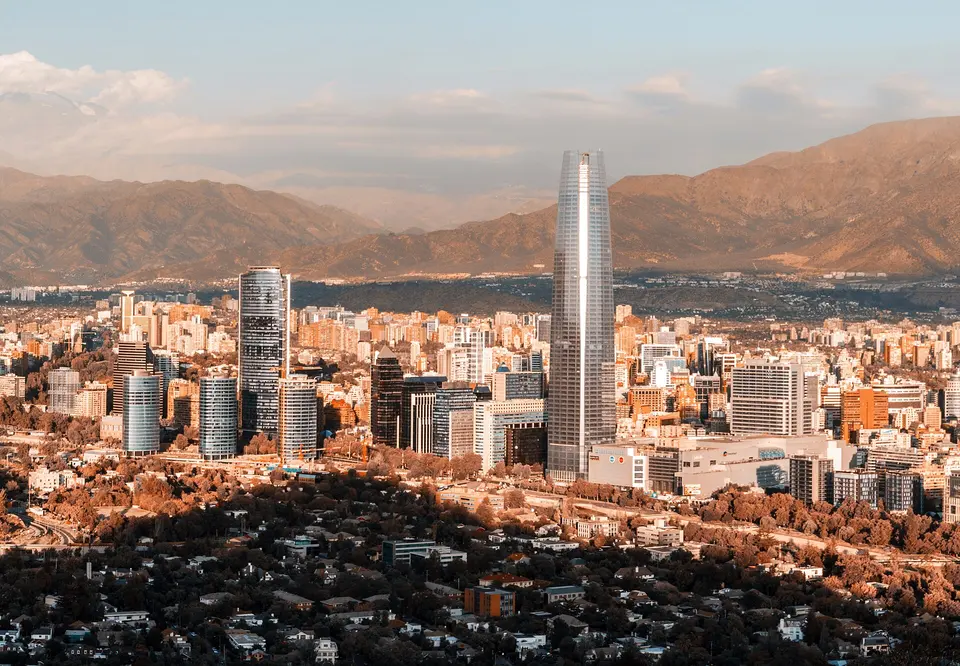
Santiago is a capital with the Andes standing over the end of every street: a presidential palace you can tour for free, two hills inside the city, Neruda's house, the tallest tower in South America and a fish market that doubles as a restaurant. Start with three days that walk the centre, climb San Cristóbal and take the museums, with the prices and hours the institutions publish for 2026.
Updated 12 September 2026 · 8 official sources checked · report an error
Choose your length
3 days in Santiago
Before you go
Good to know in Santiago
Tickets and opening days
- Guided visits to the Palacio de La Moneda are organised by the Presidency and booked through its heritage-visits site; everyone aged 16 and over must present an ID card, passport or driving licence, every visitor from the age of one must be registered, and groups must arrive at the palace 15 minutes before the booked time for security checks.Source: Presidencia de la República, Visitas Patrimoniales · checked Sep 2026
Getting around
- Santiago's public transport fares with the bip! card, valid from February 22, 2026: metro CLP 895 at peak (7:00–8:59 and 18:00–19:59), CLP 815 off-peak and CLP 735 in the low band (6:00–6:59 and 20:45–23:00); buses a flat CLP 795. One payment covers metro, bus and MetroTren with up to two transfers within 120 minutes.Source: DTPM, Directorio de Transporte Público Metropolitano · checked Sep 2026
Keep exploring