3-day itinerary · Turkey

3 Days in Bodrum

A plan that keeps the first day on foot in the old town, gives the second to the west coast and dinner on the sand at Gümüşlük, and the third to the hill city above town and the north bays. Official market days and museum details are in the stops.

  • 3days
  • 14sights
  • 0.0 kmon foot between sights

Updated 13 September 2026 · 2 official sources checked · report an error

Bodrum Castle and the Museum of Underwater Archaeology
Photo: Serhio Magpie, CC BY 4.0

The castle and the Mausoleum, then the west coast to Gümüşlük, then Pedasa and the north bays

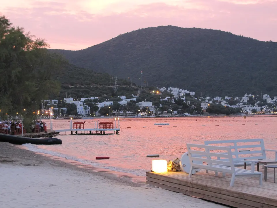
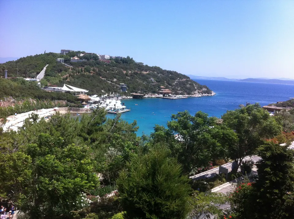
Bodrum stands on the site of Halicarnassus, the Carian capital that Mausolus built in the fourth century BC and where Herodotus was born a century earlier. Its two harbours are separated by the promontory that the Knights Hospitaller fortified in 1402, using the fallen Mausoleum as a quarry; the castle has held the Museum of Underwater Archaeology since 1962 and is the best collection of its kind in the Mediterranean. Behind the town a peninsula runs about 30 km west, with a north coast of sheltered bays and a south coast of sandy ones, thirty-odd villages that were fishing and sponge-diving settlements within living memory, and a building code that has kept almost everything white, low and flat-roofed. The result is a resort region that still looks like the place it used to be.

At a glance

Ways to use these days

Lightest day on foot
Day 1 — 3.3 km between stops
Most walking
Day 2 — 28.2 km

Day 1

Halicarnassus in a day: a crusader castle, a vanished wonder and a theatre still in use

Spend the morning in the castle the Knights built out of the Mausoleum, walk up to what is left of the wonder itself and to the fourth-century BC theatre above it, then finish on the windmill ridge for the sunset.

  • 5 sights
  • Transport between sights
12345500 mN
Stops in order, straight-line distancesWalking route in Google Maps ↗

Morning

Bodrum Castle and the Museum of Underwater Archaeology
Photo: Serhio Magpie, CC BY 4.0
1Castle

Bodrum Castle and the Museum of Underwater Archaeology

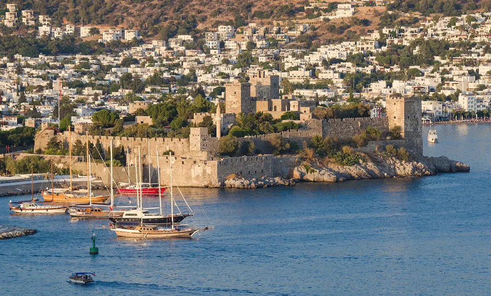
The Knights Hospitaller began building the Castle of St. Peter in 1402 on a rocky promontory between the two harbours, and quarried the ruins of the Mausoleum for the stone, which is how one wonder of the world ended up inside a crusader fortress. The towers are named for the langues of the order — English, French, German, Italian — and the English Tower still has the knights' coats of arms cut into the walls. Suleiman the Magnificent took it without a fight in 1523 after Rhodes fell. Since 1962 it has held the Museum of Underwater Archaeology, which is the real reason to spend three hours here: fourteen halls of material lifted off the seabed, including the Uluburun wreck of about the fourteenth century BC.
  • Plan about 3 h
  • Ticketed and open daily with longer summer hours; allow at least three hours, take water, and note the climb through the castle is steep and cobbled. The Carian Princess hall and the glass wreck hall have their own opening times inside the museum

Midday

LunchBodrum eats fish, and the honest version is a meyhane rather than a marina restaurant: a table of cold mezes, grilled octopus, whatever came in that morning, and rakı. The lanes behind the bazaar and the fish market on Cevat Şakir, where you buy the fish at a stall and a neighbouring restaurant cooks it for a fee, are where locals go. On the front you are paying for the view, and in July and August you are paying a great deal for it.

Afternoon

700 m north-west, about nine minutes on foot up through the old streets
Mausoleum at Halicarnassus
Photo: Carole Raddato from FRANKFURT, Germany, CC BY-SA 2.0
2Archaeological site

Mausoleum at Halicarnassus

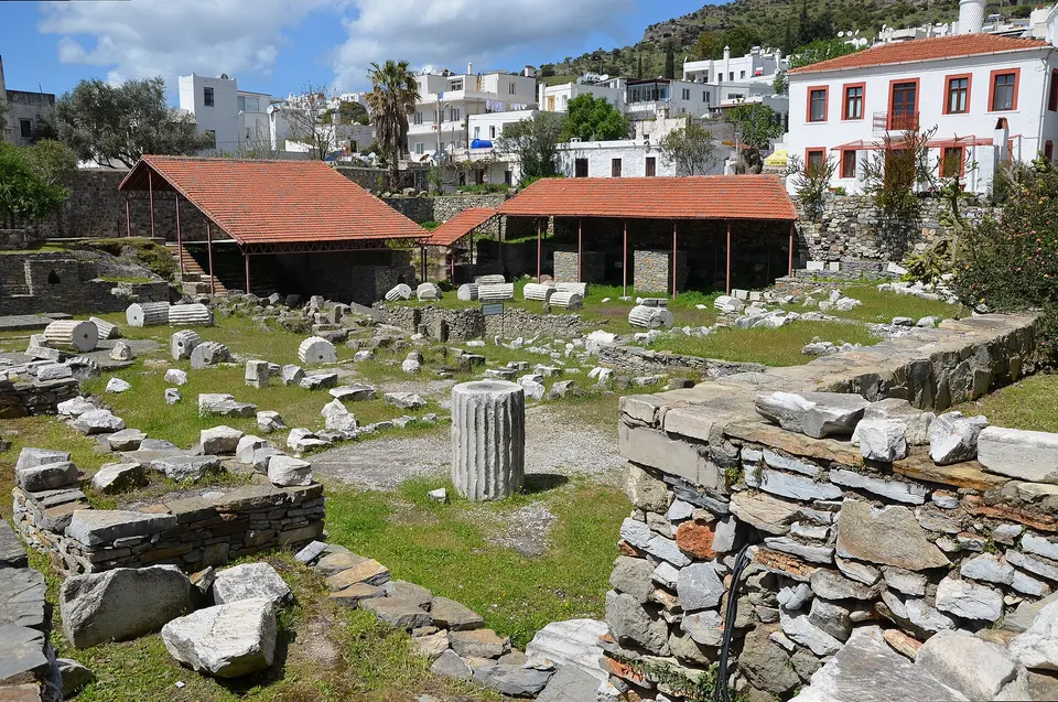
Mausolus, the Persian satrap who made Halicarnassus his capital, died in 353 BC, and the tomb his sister and widow Artemisia finished for him was so extravagant that his name became the word for a monumental tomb in every European language. It stood about 45 metres high on a stepped podium, with 36 columns, a stepped pyramid roof and a four-horse chariot on top, worked by four of the best Greek sculptors of the age. Earthquakes brought it down between the twelfth and fifteenth centuries and the Knights carted the stone away for the castle; Charles Newton excavated the site in the 1850s and took the surviving sculptures to the British Museum.

  • Plan about 1 h
  • A ticketed site open daily, generally 08:30 to 17:30 in winter and later in summer; what is there is a foundation pit, column drums, the burial chamber and a small exhibition with casts, so read about it before you go or it will look like a hole in the ground
700 m north, uphill, about twelve minutes on foot
Ancient Theatre of Halicarnassus
Photo: Carole Raddato from FRANKFURT, Germany, CC BY-SA 2.0
3Ancient theatre

Ancient Theatre of Halicarnassus

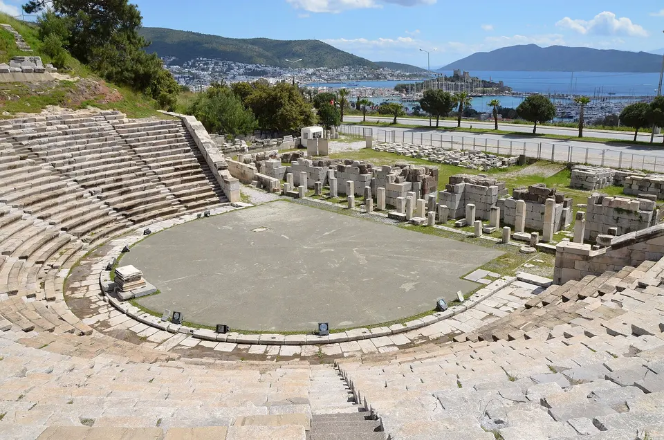
Cut into the hillside above the town in the fourth century BC under Mausolus, which makes it one of the oldest theatres in Anatolia, and enlarged by the Romans to hold something like ten to thirteen thousand people. Thirty-odd rows of seating survive in good order, along with the orchestra, parts of the stage building and two rock-cut niches above the top row. It is still used, which is the best thing about it: the town runs concerts here through the summer and sitting in a fourth-century BC theatre with the castle and the bay lit up below is worth arranging a night around. In the daytime it is free and usually empty.

  • Plan about 45 min
  • Free and open through the day, on the main road above the town; it is a fifteen-minute uphill walk from the centre or a short taxi. Check the municipality's programme for summer concerts before you book your nights
900 m west, about twelve minutes on foot down the hill
Myndos Gate
Photo: Mickapr, CC BY-SA 4.0
4Archaeological site

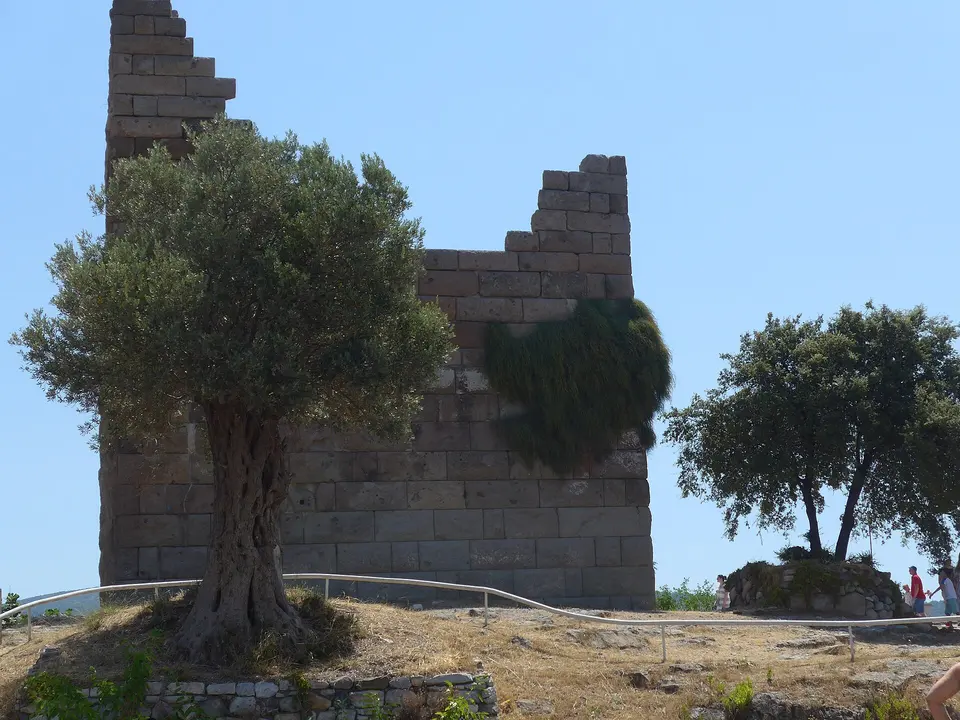
Myndos Gate

The western gate of the city wall that Mausolus threw around Halicarnassus in the fourth century BC, and the place where Alexander the Great's siege of 334 BC turned nasty. Two towers, a courtyard between them and a rock-cut moat survive, and the Macedonian dead from the assault were buried just outside. Alexander eventually took the city, burned it and left the two citadels blockaded rather than reduce them. What you see now has been consolidated and partly rebuilt, and there is an information board doing the explaining. It takes twenty minutes and it sits in a quiet residential street that most visitors never reach.

  • Plan about 30 min
  • Free and open, on the road west out of town towards Gümbet; twenty minutes on foot from the Mausoleum and easy to add to the same morning

Evening

1.5 km south on the Gümbet ridge, about six minutes by taxi; the road up is too steep to be a pleasant walk
Bodrum Windmills
Photo: Serhio Magpie, CC BY 4.0
5Windmill

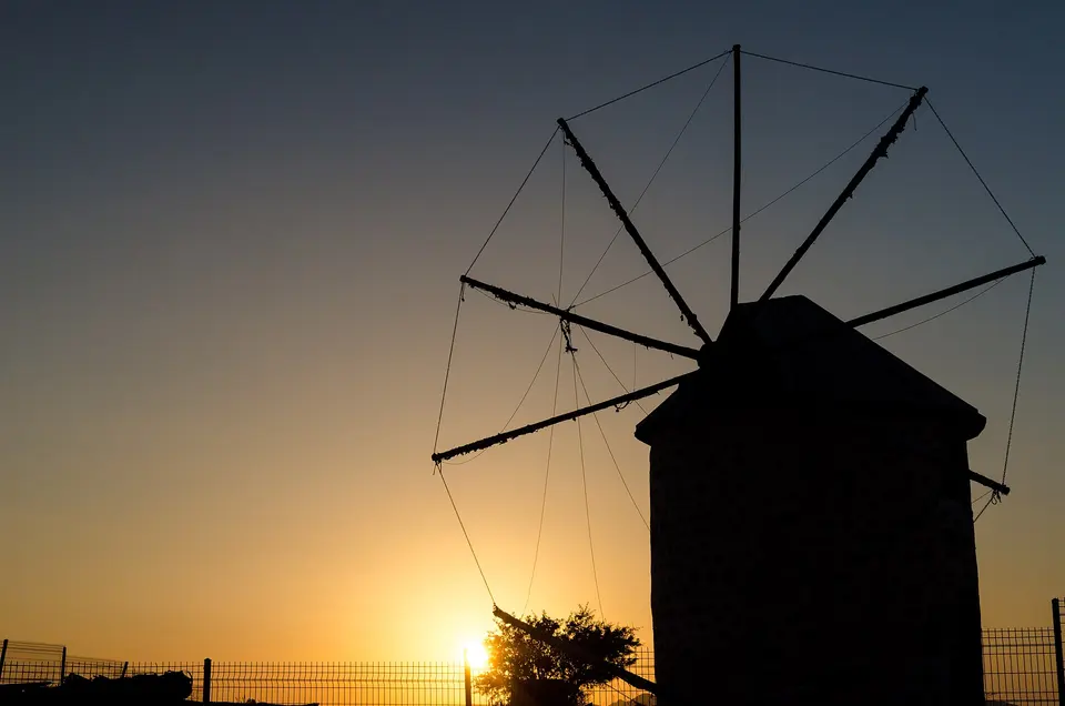
Bodrum Windmills

A line of round stone windmills on the ridge between Bodrum and Gümbet, built in the eighteenth century and worked until the 1970s, grinding grain for the peninsula with sails that caught the meltem wind coming down the channel. Several have been restored and one keeps its machinery. They are on the col, which means the view goes both ways at once: Bodrum and its castle on one side, Gümbet bay on the other, and the Greek island of Kos out beyond. It is the standard sunset spot and it earns the reputation, though in July and August you will be sharing the ridge with a hundred other people and a queue of cars.

  • Plan about 45 min
  • Free and always open; drive or take a taxi up, arrive half an hour before sunset, and expect the parking on the narrow ridge road to be difficult in high summer

Day 2

The west coast: tangerine bays, an Ottoman tower and dinner on the sand at Gümüşlük

Drive the southern shore from the family bay at Bitez out to the far west, stop at the fortified house in Ortakent and the long beach below it, cross to the sandiest corner of the peninsula, and end where ancient Myndos lies under the water.

  • 5 sights
  • Transport between sights
123452 kmN
Stops in order, straight-line distancesDriving route in Google Maps ↗

Morning

Bitez
Photo: Raicem, CC BY-SA 4.0
1Village

Bitez

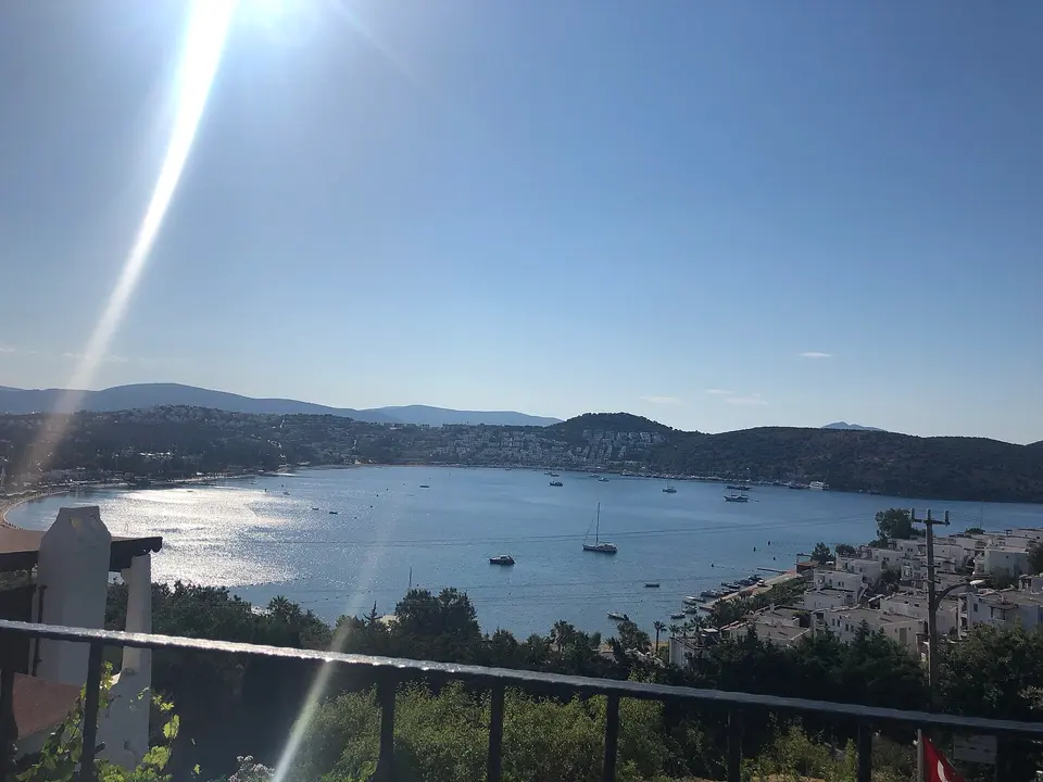
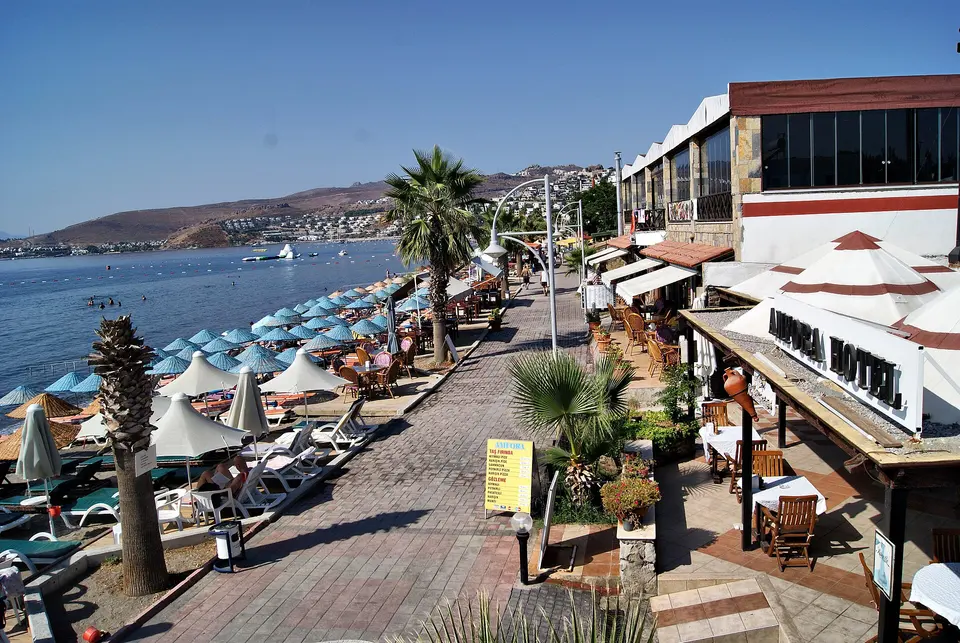
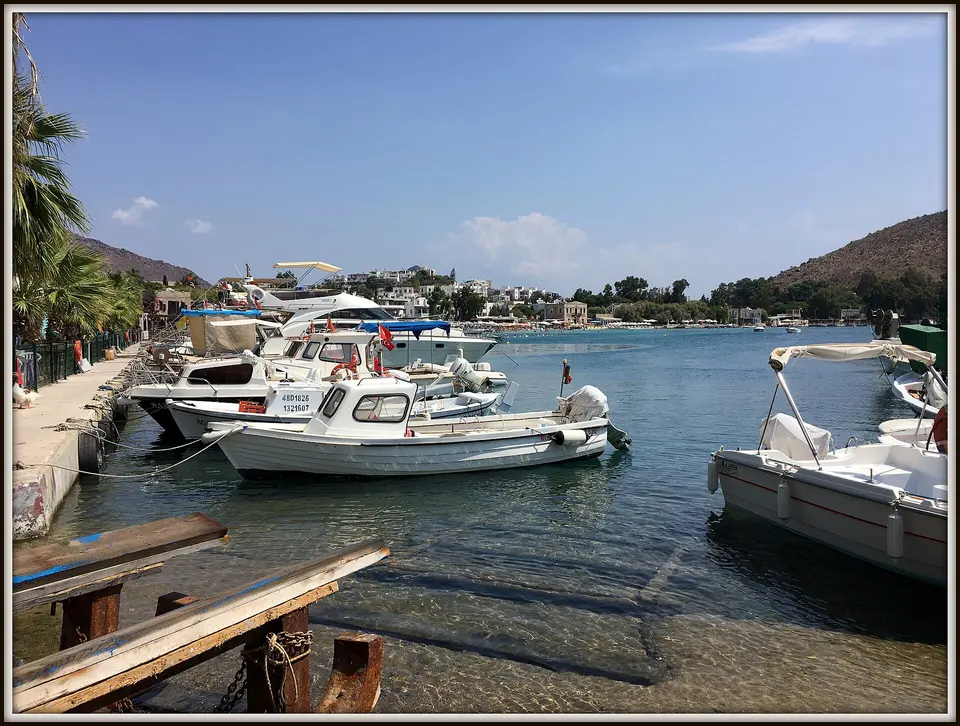
A shallow bay five kilometres west of town with tangerine groves running down behind it and a two-kilometre seafront of low restaurants and beach clubs on wooden decks. The water stays waist-deep a long way out, which makes it the family bay of the peninsula and also the reason the windsurfing school has been here for decades — the afternoon meltem comes in reliably and the bottom is forgiving. Bitez has resisted the high-rise treatment better than its neighbours; behind the front it is still a village of stone houses and citrus walls, and the Thursday market is one of the good ones.

  • Plan about 2 h 30 min
  • Free to walk the bay; most beach clubs charge for a sunbed and a few waive it against a food and drink minimum. The village market is on Thursdays, and the sea-front path to Gümbet takes about forty minutes
4 km further west, about eight minutes by car; the village is inland and Yahşi beach is 2 km below it
Ortakent and Yahşi
Photo: HALUK COMERTEL, CC BY 3.0
2Village

Ortakent and Yahşi

Ortakent is the inland half, a village of stone houses and old walled gardens around the Mustafa Paşa Tower, a fortified Ottoman house of 1601 with musket slits and a machicolation over the door — the surviving example of a type that once stood all over the peninsula. Yahşi is the coastal half, two kilometres down the hill, with the longest sand beach in Bodrum and none of the crush of the bays nearer town. The two together make a good half-day: the tower and the lanes in the morning, then a long flat beach where you can actually walk for a kilometre in a straight line.

  • Plan about 2 h
  • Free; the tower is usually viewed from outside and the village lanes are the point. Yahşi beach has public stretches as well as clubs, and parking is easier here than anywhere else on the south coast

Midday

LunchEvery bay on this coast has beach restaurants and most of them are competent rather than memorable; the exceptions are worth planning for. Yahşi and Akyarlar do good simple grilled fish at village prices, and the gözleme stalls at the back of the beaches are better than they look. Save the appetite: dinner at Gümüşlük, with the table on the sand and the sun going down behind Rabbit Island, is the meal people remember from a Bodrum week.

Afternoon

9 km south-west, about fifteen minutes by car along the coast road
Turgutreis
Photo: Tanya Dedyukhina, CC BY 3.0
3Town

Turgutreis

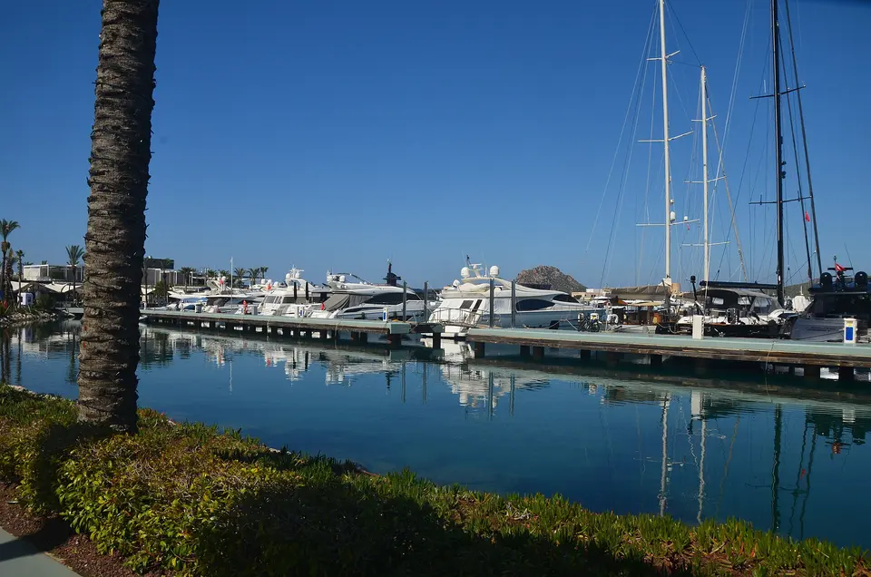
The second town of the peninsula, on the far west coast and named for Turgut Reis, the Ottoman admiral born in the village here in about 1485 who ended as governor of Tripoli and died at the siege of Malta. It has a working marina of several hundred berths, a long west-facing beach with the Greek islands strung out across the horizon, and a proper town behind the front with a market on Saturdays that is the biggest on the peninsula. Being the westernmost point, it gets the sunset head-on, which is why the sea-front bars fill an hour before it and why there is a promenade built for exactly that.

  • Plan about 2 h
  • Free; the Saturday fruit and vegetable market and the Sunday second-hand market are both worth timing a visit for, and the marina promenade is the best place on the peninsula to watch the sun go down over the islands
8 km south-east round the headland, about twenty minutes by car on a slow winding road
Akyarlar
Photo: Edward Bar, CC BY 3.0
4Village

Akyarlar

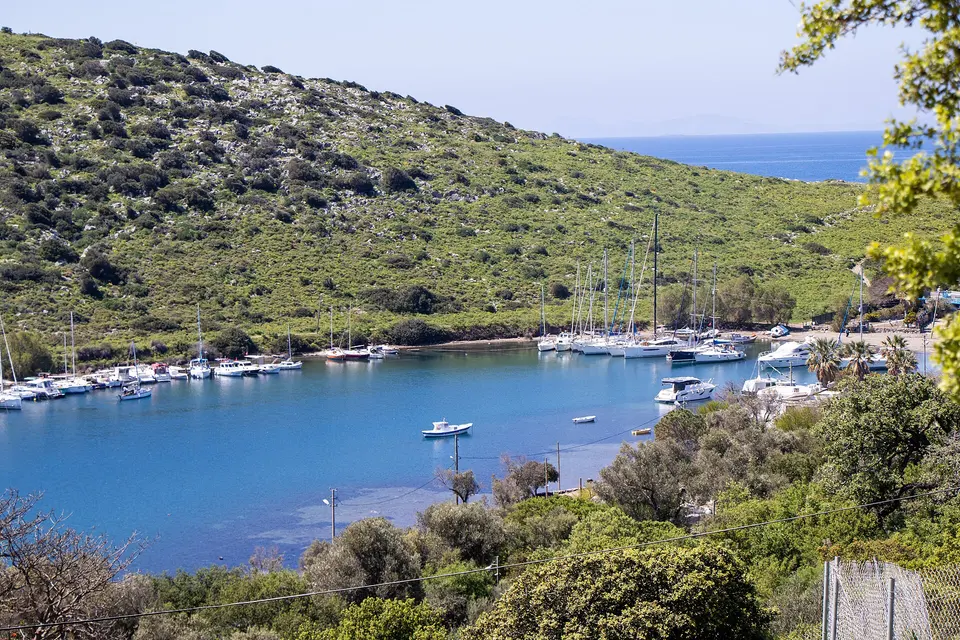
The south-western corner of the peninsula and the closest point in Bodrum to Kos, which sits four or five kilometres offshore and dominates the view. Until the population exchange of 1923 the village was Greek and called Kefaluka, and the church still stands by the water. What brings people now is the sand: Akyarlar's own beach and Karaincir just to the east are the finest on the peninsula, pale and shelving gently, with water that warms earlier in the season than the north coast. The village behind is small, the tavernas are on the sea, and by Bodrum standards it is genuinely quiet.

  • Plan about 2 h
  • Free public beaches with a few paid clubs; the Thursday market runs in the village, and the road out here is slow and winding, so allow forty minutes from Bodrum rather than the twenty the map suggests

Evening

16 km north, about thirty minutes by car; park at the top of the village, as the lane down is closed to traffic
Gümüşlük
Photo: Koray, CC BY-SA 4.0
5Village

Gümüşlük

Built directly on top of ancient Myndos, which is the reason it looks the way it does: the whole bay is a protected archaeological site, so the building permits never came and Gümüşlük stayed a low village of single-storey houses and fish restaurants with their tables on the sand. Most of Myndos is underwater and you can see the harbour walls through the water on a calm day. A spit of stones runs out to Rabbit Island, which people wade across to at knee depth, and the ruins on it are Byzantine and Hellenistic. It is the accepted sunset dinner of the peninsula and it is worth the drive.

  • Plan about 2 h 30 min
  • Free; park at the top and walk down, as the lane into the village is closed to cars. Book a waterside table in July and August, and go on a Wednesday if you also want the village market

Day 3

North coast and the hill above it: a Lelegian city, a Byzantine ruin and the superyacht village

Climb to the pre-Greek city on the ridge behind town for the view over the whole peninsula, drop to the sheltered bay nearest the airport, then work north-west through the bay where Istanbul summers to the marina and market town at Yalıkavak.

  • 4 sights
  • Transport between sights
12345 kmN
Stops in order, straight-line distancesDriving route in Google Maps ↗

Morning

Pedasa
Photo: Oystercard, CC BY-SA 4.0
1Archaeological site

Pedasa

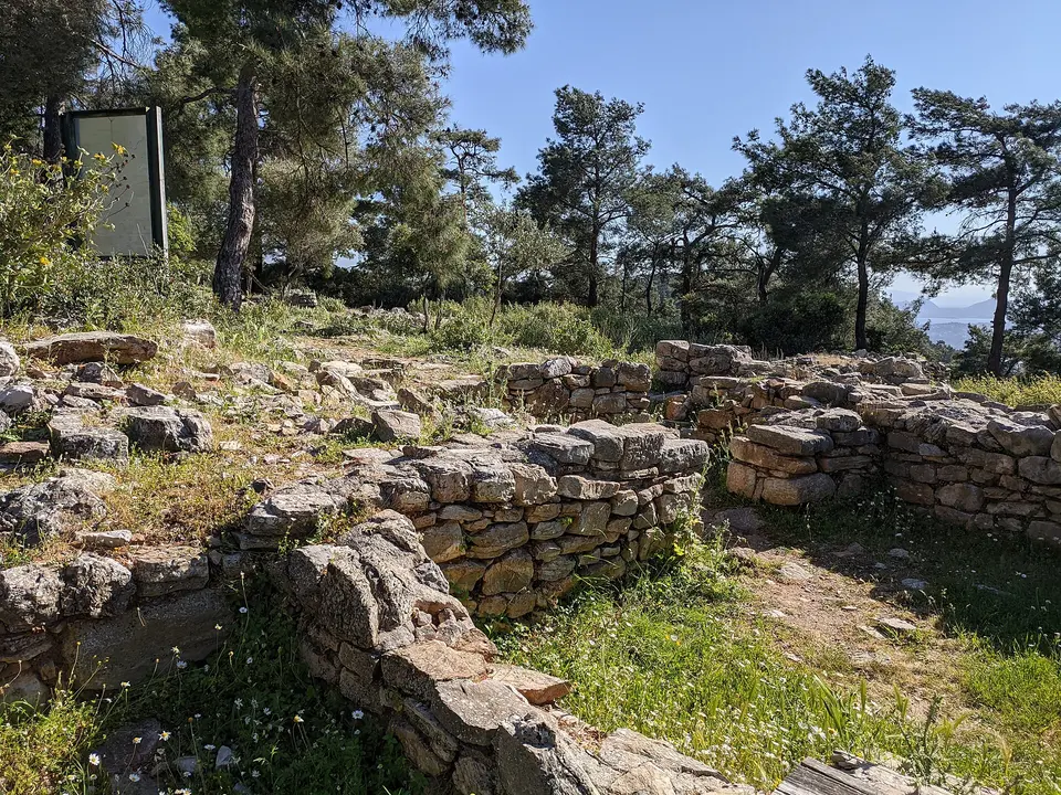
A Lelegian hill city above Konacık, older than Halicarnassus and never absorbed into it without a fight. Herodotus tells the story that whenever disaster was about to strike the Pedasians, the priestess of Athena grew a beard, which happened three times. Mausolus eventually moved the population down to his new capital in the fourth century BC. What is left on the hilltop is a circuit of Lelegian walls of enormous unmortared blocks, the foundations of the Athena temple, cisterns and a necropolis of tumuli scattered through the scrub, with the whole peninsula laid out below. Excavations have been running since 2005.

  • Plan about 1 h 30 min
  • Free, unfenced and always open; the track up from Konacık is rough, so leave the car at the bottom and allow twenty to thirty minutes of uphill walking each way. Wear proper shoes, take water, and go early in summer
8 km east to the north coast, about fifteen minutes by car
Torba
Photo: Dw updike, CC BY-SA 4.0
2Village

Torba

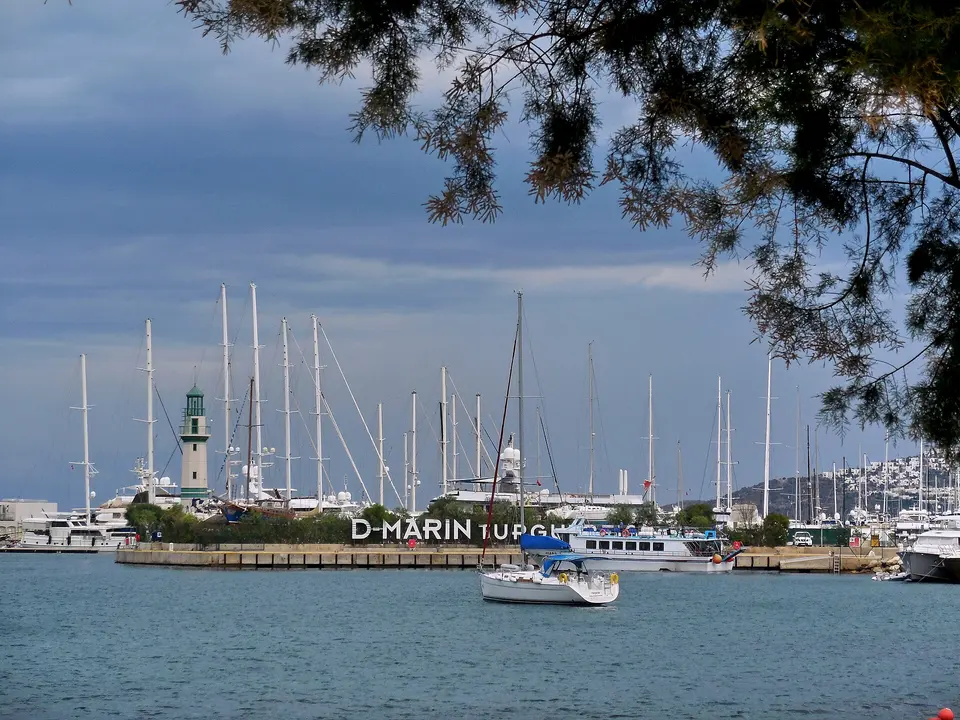
A sheltered north-coast bay six kilometres from town and the first place most people see, since it is the nearest resort to the airport road. The water is calm and the bay faces the mainland rather than the open Aegean, which keeps the afternoon wind off it. On the shore stand the remains of a Byzantine monastery, walls and arches that people eat their lunch beside without particularly noticing; the bay was also an ancient harbour serving the interior. A row of restaurants and small hotels lines the front, the marina takes day boats, and the ferry across to Didim leaves from here in season.

  • Plan about 1 h 30 min
  • Free; it is the easiest bay to reach from the airport and a reasonable first or last stop if your flight is awkward. The seafront restaurants take reservations and the Byzantine ruins are on the public shore

Midday

LunchThe north coast is where the peninsula's better restaurants have quietly gathered. Gölköy has a line of family places on the water that charge a fraction of what the platforms next door do; Yalıkavak marina has the polished international end of the market. In the villages, look for a lokanta with trays in the window and eat what is in them — this is the cheapest good food in Bodrum, and it closes by three.

Afternoon

14 km north-west, about twenty-five minutes by car over the ridge
Göltürkbükü
Photo: bynyalcin, CC BY 3.0
3Village

Göltürkbükü

Two villages, Gölköy and Türkbükü, joined into one municipality in the 2000s and known collectively as the place where Istanbul spends August. There is almost no beach: the shore is steep, so the hotels and clubs have built wooden platforms out over the water, and the whole bay is a run of decks with sunbeds, ladders into the sea and a service of small boats between them. It is expensive, self-consciously stylish and not remotely traditional, and it is also very pretty — a deep sheltered bay with mandarin groves behind and a line of restaurants along the water in Gölköy that are considerably better value than the platforms.

  • Plan about 2 h
  • The platform clubs charge for a sunbed, often with a substantial minimum spend, and book out at weekends in August; Gölköy, the eastern half, is the cheaper and quieter end and the walk between the two takes twenty minutes

Evening

12 km west, about twenty minutes by car along the north coast
Yalıkavak
Photo: CeeGee, CC0
4Town

Yalıkavak

A sponge-diving village on the north-west coast that spent the last fifteen years turning into a superyacht port: the marina takes boats over a hundred metres long and has a shopping arcade and restaurants built round it that would not be out of place in Monaco. Behind all that the old village is intact — stone lanes climbing the hill, a line of restored windmills on the ridge above, and a Tuesday market that is the largest on the peninsula and the reason coachloads come from the other resorts. The combination is strange and rather enjoyable: 200-million-euro boats at one end of the front and a man selling tomatoes at the other.

  • Plan about 2 h 30 min
  • Free to walk the marina and the village; the market runs on Tuesdays and the clothes market on Thursdays. Sunset is best from the windmills on the ridge above the town rather than from the marina itself

Good to know in Bodrum

Bodrum: the museum inside the castle

  • Bodrum Municipality states that the Museum of Underwater Archaeology inside Bodrum Castle has fourteen exhibition halls and holds the world's richest collection of Eastern Mediterranean amphorae, together with the Yassıada, Şeytan Deresi and Serçe Limanı wrecks. The Serçe Limanı glass wreck on display is the vessel itself, which sank in 1025 and from which three tonnes of glass were recovered; the museum also holds the largest Islamic glass collection in the world.Source: Bodrum Belediyesi — Bodrum Sualtı Arkeoloji Müzesi · checked Sep 2026

Bodrum: which village has its market on which day

  • Bodrum Municipality's official market list: Monday at Güvercinlik, Kumbahçe and Türkbükü; Tuesday at Yalıkavak, Gölköy and Dereköy, plus the haberdashery market in Bodrum town; Wednesday at Gümüşlük, Gündoğan, Müskebi and Akçaalan, plus the producers' market in Bodrum; Thursday at Bitez, Akyarlar and Bodrum, with the clothes market at Yalıkavak; Friday at Bodrum, Konacık and Yalıçiftlik; Saturday at Turgutreis, Müskebi and Yaka, with the second-hand market at Yalıkavak; Sunday at Gümbet, Mumcular, Turgutreis and Bitez, with the antiques market in Bodrum town.Source: Bodrum Belediyesi — Pazar Yerleri · checked Sep 2026

3 days in Bodrum: quick answers

Is 3 days enough for Bodrum?

Three days covers the town's ancient sites properly and gets you round both coasts of the peninsula, which is what most people want from a first visit. What it does not allow for is doing very much sitting still, and Bodrum is a place people come to sit still. If you have a week, use this plan for three of the days and give the rest to a boat: the day trips out to Orak Island, Karaada and the bays along the Gökova gulf are the best thing in the region and cannot be done from a car.

What is the best time of year to visit Bodrum?

May, June, September and early October. July and August are hot — well over 35°C inland — and the peninsula fills to the point where the coast road becomes a queue and the restaurants need booking days ahead. The shoulder months give warm sea, hotel prices about a third lower and space at the beaches; the water is at its warmest in September. From November to March most of the resorts close entirely and only Bodrum town stays properly open, which is its own quiet pleasure if you like empty places.

Do you need a car in Bodrum?

For the town, no: everything on the first day is walkable. For the peninsula it helps a great deal, though the dolmuş minibuses are frequent, cheap and go everywhere — they run from the Bodrum otogar to every village on this plan and keep going late in summer. Hiring a car for the second and third days is the efficient answer if you want to move at your own pace. Parking in Gümüşlük, Yalıkavak and Göltürkbükü is difficult in high season, so arrive early or late.

How much does Bodrum cost per day?

It has the widest spread of any Turkish resort. A pension in the back streets of Bodrum town runs 1,200 to 2,500 lira, a decent hotel 3,000 to 6,000, and the north-coast hotels at Türkbükü and Yalıkavak go into a different bracket entirely. A sunbed at a beach club is 500 lira and up, often with a minimum spend; the public beaches are free. Dinner at a village lokanta costs a fraction of dinner on a marina front, and the museum inside the castle is the main entry fee of the trip.

Which side of the peninsula should you stay on?

Bodrum town if you want the sites, the nightlife and the bus connections, and if you do not mind noise; Bitez, Ortakent or Turgutreis for beaches and families on the south side; Gümüşlük for quiet and dinner on the sand; Torba if you have an early flight; Göltürkbükü and Yalıkavak on the north coast for the expensive end. The peninsula is only about 20 km across, so nowhere is far from anywhere else, but the coast roads are slow and winding and journeys take longer than they look.

Can you take a day trip to the Greek islands from Bodrum?

Kos is 40 minutes away by catamaran and the ferries run several times a day through the season from Bodrum's cruise port, with a slower crossing to Rhodes and seasonal boats to Kalymnos. It is a genuine day trip and the island is visible from most of the west coast. What you need is a passport and, for many nationalities, a Schengen visa or an on-arrival arrangement that changes from year to year, so check the current rules with the operator before you count on it.

Other Bodrum itineraries

Keep exploring

Where this connects

THE TRIPWOA APP

Go somewhere.
Make it yours.

Build days around what you love. Follow your route, find your next stop and keep the moments along the way.

Get it on Google PlayAvailable for Android
Free to start
Tripwoa home with a Paris trip and nearby places to explore
Tripwoa day plan for New York with a route map and Times Square stop

A day that feels like you.

Sources and method

Places and coordinates: Wikidata and Tripwoa's open-data place catalog (Overture Maps Foundation, © OpenStreetMap contributors). Photos: Wikimedia Commons, credited on each image. Practical rules: the official sources linked in each note, checked in September 2026.

How this plan was made: Tripwoa's planner drafted the day order from real coordinates and typical visit times. Each stop was then reviewed, reordered where needed and rewritten with AI assistance. Walking distances are straight-line estimates, so allow a little extra time on real streets.