Guides · Canada
Getting around Vancouver
How to move around Vancouver on a 3-day walking trip: metro, tickets and the notes that matter.
Checked September 2026 against official sources
Vancouver
Transit and walking
Follow the official link before you buy. Full walking days: Vancouver itinerary.
Getting around
- TransLink's card readers on buses, SkyTrain and SeaBus accept contactless Visa, Mastercard, American Express and Interac debit cards and phone wallets, with transfers across all modes on one fare for 90 minutes. Buses are always a one-zone fare.Source: TransLink · checked Sep 2026
- The SeaBus crosses Burrard Inlet between Waterfront Station and Lonsdale Quay in 12 minutes, every 15 minutes through the day, seven days a week.Source: TransLink · checked Sep 2026
- Aquabus ferries run across False Creek every 5 minutes to Granville Island and every 15 minutes to the other docks, from 7:00 to 23:00 daily.Source: Aquabus · checked Sep 2026
Questions
Quick answers
How much walking is this itinerary?
Day one is the long one, about 4.5 km in a straight line along the seawall and through Stanley Park (rent a bike to shorten it); day two is under 2 km plus a bus; day three is done by shuttle, bus, gondola and SeaBus with little walking.
The days these rules belong to
3 days in Vancouver
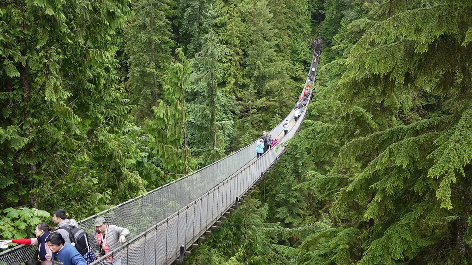
Vancouver's sights sit around a harbour and an inlet, so the plan uses the water as much as the streets: day one walks from Canada Place through Gastown and along the Coal Harbour seawall into Stanley Park, ending at English Bay; day two crosses False Creek by Aquabus to Granville Island, follows the shore to Kitsilano and continues to the museums of UBC; day three takes the free shuttle to Capilano, the Skyride up Grouse Mountain and the SeaBus back from Lonsdale Quay. The Museum of Anthropology is closed on Mondays between mid-October and mid-May, so keep day two off a winter Monday.