City itineraries · Canada
Vancouver, day by day
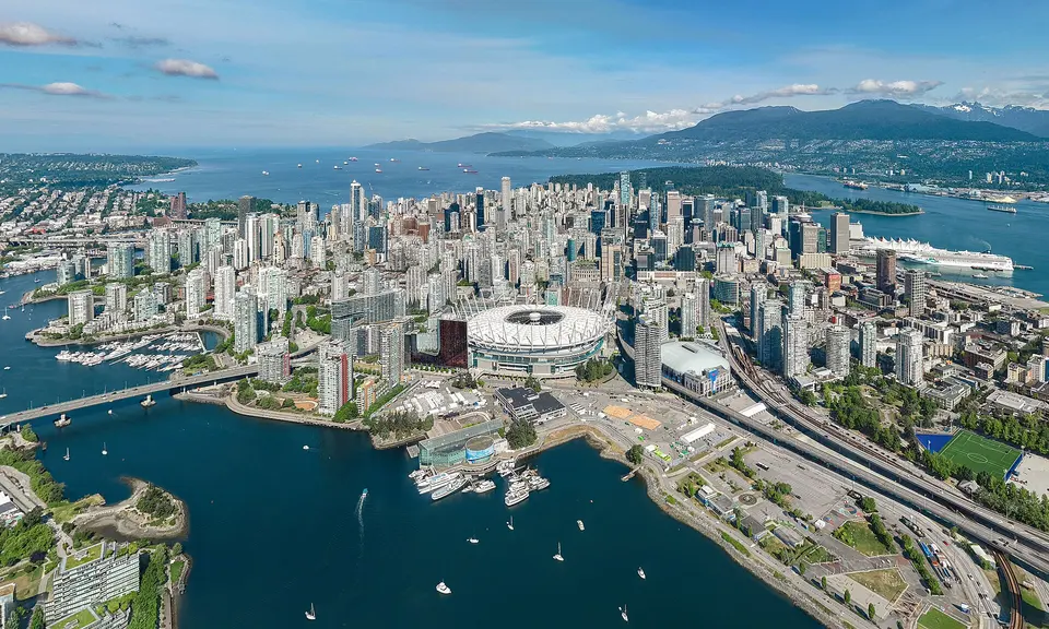
Vancouver puts mountains, forest and sea within a bus ride of downtown: the Stanley Park seawall, a food market on an island, the great Northwest Coast collections at UBC and a suspension bridge and gondola on the North Shore. Start with three days that use the water as much as the streets, with the opening rules that matter in 2026.
Updated 12 September 2026 · 12 official sources checked · report an error
Choose your length
3 days in Vancouver
Before you go
Good to know in Vancouver
Tickets and opening days
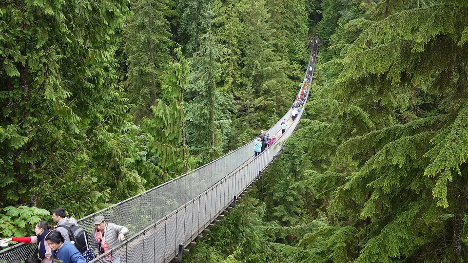
- Capilano Suspension Bridge Park is open every day of the year except 25 December, with hours that change by season. Tickets are timed-entry and cheaper online; most visitors spend two to three hours.Source: Capilano Suspension Bridge Park · checked Sep 2026
Getting around
- TransLink's card readers on buses, SkyTrain and SeaBus accept contactless Visa, Mastercard, American Express and Interac debit cards and phone wallets, with transfers across all modes on one fare for 90 minutes. Buses are always a one-zone fare.Source: TransLink · checked Sep 2026
Keep exploring